Congress’s Community Project Funding awarded the Iowa Flood Center (IFC) $1 million to expand drought and flood monitoring, watershed management and forecasting services in Eastern Iowa, an effort championed by Congresswoman Ashley Hinson and Congresswoman Mariannette Miller-Meeks.
“This funding will help ensure Iowa remains a national leader in flood prediction,” said Larry Weber, professor of civil and environmental engineering and co-founder of the Iowa Flood Center. “We’re grateful for our partnerships at the local, state, and federal levels that supported this project and made it possible.”
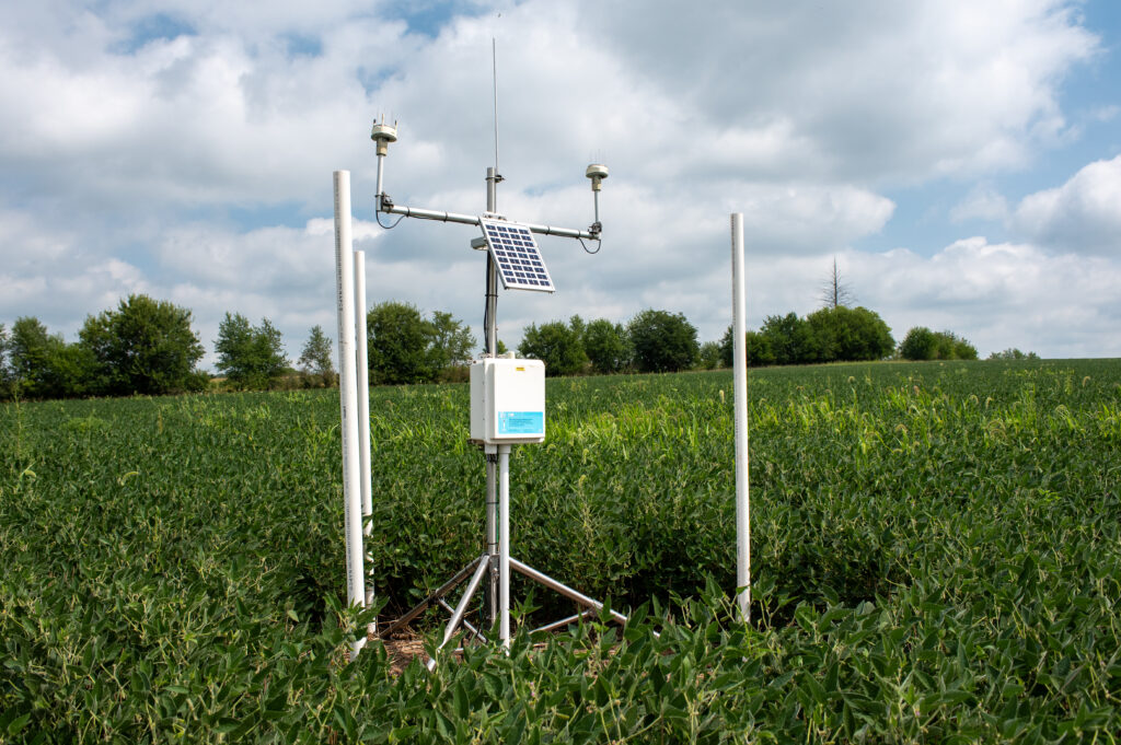
Collecting data
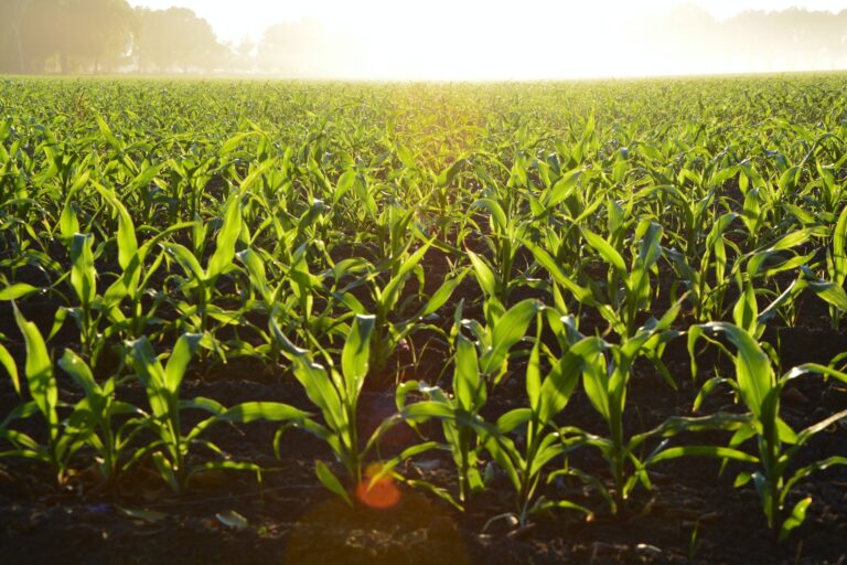
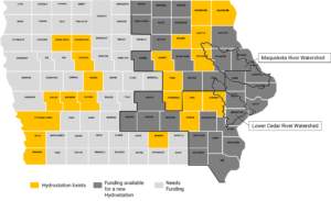
The funding supports the installation of additional stream sensors and 30 new hydrostations along the Lower Cedar River and Maquoketa River watersheds. This brings the IFC’s hydrostation network to 50 locations, halfway to its goal of posting one in every Iowa county. The hydrostations measure rainfall, soil moisture, temperature conditions and groundwater levels in shallow wells. The sensors and stations will collect data and monitor hydrologic conditions in real-time.
“The Iowa Flood Center is at the forefront of flood mitigation and prevention initiatives in Iowa. This funding will bolster the Flood Center’s research and modernization efforts and strengthen their ability to provide real-time information to support local emergency operations in flood disaster situations,” said Hinson. “I was proud to work with Congresswoman Miller-Meeks to bring this critical investment back to Iowa and ensure families, homes, and businesses are better protected from severe weather.”
Team effort
The project builds off the framework of the IFC-led $97 million Iowa Watershed Approach (IWA) program and will bring together local watershed stakeholders to improve community flood resilience and increase mitigation efforts. for Research to Operations in Hydrology. The new NOAA Cooperative Institute will be undertaking research activities related to the information relayed by the stations – critical information for water-related monitoring, modeling, visualization and mapping, of which the University of Iowa and Iowa Flood Center is a key partner.
Additionally, the network’s data will have a key influence on discussions related to developing an Iowa Drought Information System.
The public can access data from the network on the IFC-developed Iowa Flood Information System (IFIS), an online tool that communicates real-time information about stream levels, flood alerts and forecasts, and hydrologic conditions for the entire state. The Flood Center expects deployment of the Eastern Iowa hydrostation network in the spring of 2024 and hopes to secure additional funding support to expand the network in Western Iowa.
“We’re grateful to Congresswoman Hinson and Congresswoman Miller-Meeks for their hard work to bring this project to Iowa,” said Witold Krajewski, professor of civil and environmental engineering and director of the Iowa Flood Center. “This is a breakthrough that will help prepare Iowans for future hazards, from floods to drought.”