A unique historical and augmented reality project at the University of Northern Iowa is gaining more traction, thanks to a generous $150,000 grant from the National Endowment for the Humanities.
UNI faculty members Bettina Fabos and John DeGroote received the Digital Humanities Advancement Grant to further Mainstreet 360°, a project whose goal is to superimpose geolocated historical photos onto a modern-day 360° streetscape. Funds from the grant will aid UNI in building augmented reality environments not only for the campus, but for the city of Ottumwa, as well. Augmented reality differs from virtual reality in that it uses a real-world setting, rather than a virtual one.
The team, which includes backend developer Jonathan Voss and designer Dana Potter, is developing a platform that will help cultural institutions upload and display their own historical photos to create a map with a 360° street view.

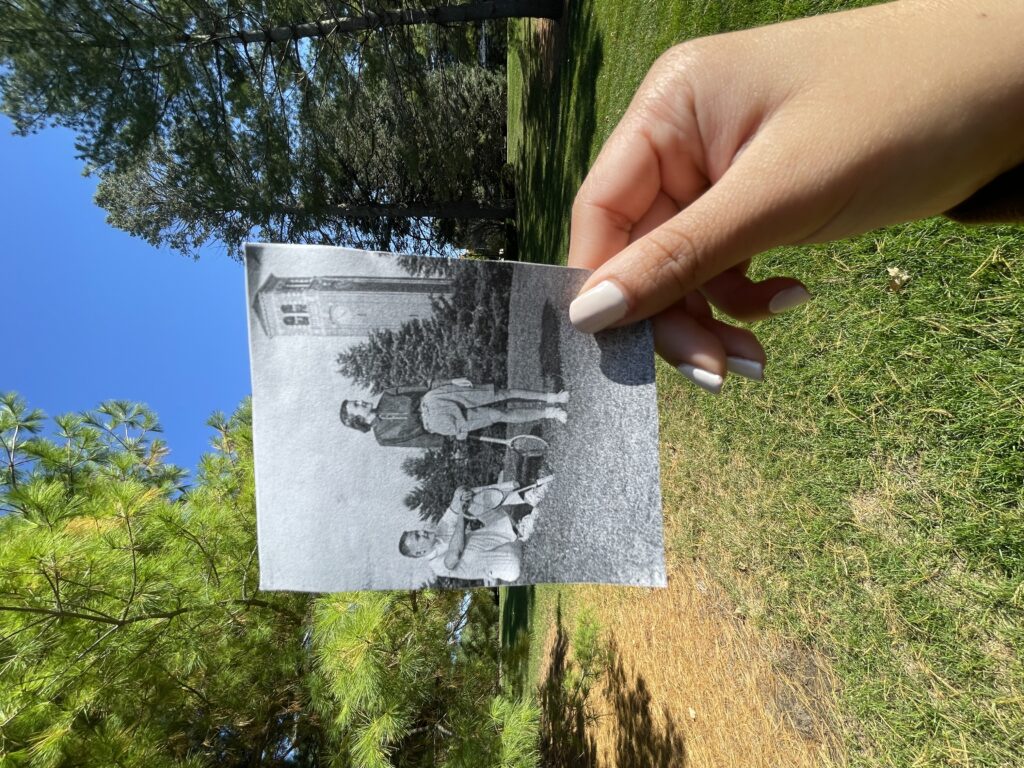
“The final project will look something like Google Street View, but with historical images superimposed in the exact position of what is there today,” said Fabos, a professor of interactive digital studies at UNI. “For example, a photo of UNI’s campus in the 1940s might reveal where tennis courts were once located near the Campanile.”
Historic collections
The goal of the project is to match historical photos of college campuses and American Main Streets to the exact place and perspective from which the photographer captured the original photo. Users can “walk through” each historical decade and inhabit a tailored historical street view. The tool will include text to help interpret each decade, a timelapse feature for locations with photos from multiple decades, and the ability to add unique details in certain photographs.
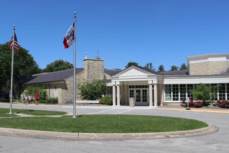
The UNI campus will be the focus of the pilot program, since it has a vast collection of scanned photographs from the 19th and 20th centuries. The second environment will be the town of Ottumwa.
“We have an impressive number of main street photos from Ottumwa already integrated into the Fortepan IA archive,” said Fabos. “We aim to demonstrate the power of the Mainstreet 360° augmented reality application for these two different locations to illustrate the application’s potential for visualization and historical interpretation.”
LeAnn Lemberger, resident of Ottumwa, donated an impressive 1.5 million photographs to the University. The photos were amassed by her late husband, Michael Lemberger, the chief photographer of the Ottumwa Courier from 1967 to 1983.